UPDATE. GoldRiver 400 - Les Chemins Sauvage. Thursday 27 June to Tues 2 July 2024.
- Jonathan Binnington
- Aug 17, 2023
- 3 min read
These sultry days of summer have me thinking about next year's GoldRiver400 event, appelé "Les Chemins Sauvage" en Français.... sums up what this is all about.

The 2024 event will take place over the Canada Day weekend, next year Canada Day is Monday 1st July. The event will open on Thursday afternoon 27th June with sign-on and scrutineering, then routes to be ridden on Friday, Saturday, Sunday and Monday, with awards and closing on Monday evening. Then go home on Tuesday (or stay if you wish). This way, and with the event being one week later in the solar calendar we get four days riding having to take just one day off work.
Late arrivals on Thursday evening and early departures on Monday will be ok.
Now that we have been around this block a few times and the format and local area are becoming more familiar, I will be taking the opportunity to change things around a little to develop the presentation of the event.
The event will still be a dualsport motorcycle, backcountry navigation trial for road legal bikes and riders travelling Crown land FSRs. Some will be FSRs that you and probably very few other people have not travelled for a very long time...
The event will still comprise three classes, Gaia, Roadbook and Roadbook + Richta timing (for the awards).
The event will still be based in Gold River with a group campsite for those that wish for the bivouac experience.
The petrol stations will still be at Gold River, Woss and Sayward Junction and the routes will still be over the Crown Land Forest Service Roads - Highways on the North Island ;). You will need a fuel range of 200km as a minimum
Now that the main roads north from Gold River are becoming rather familiar to us (Gold River Rd, Back Rd, West Rd, East Main and White River Rd), I think I will probably set these as untimed "transit routes" from Gold River to Woss and Sayward Junction for rest and refueling before the routes-proper start over new-to-us FSRs.
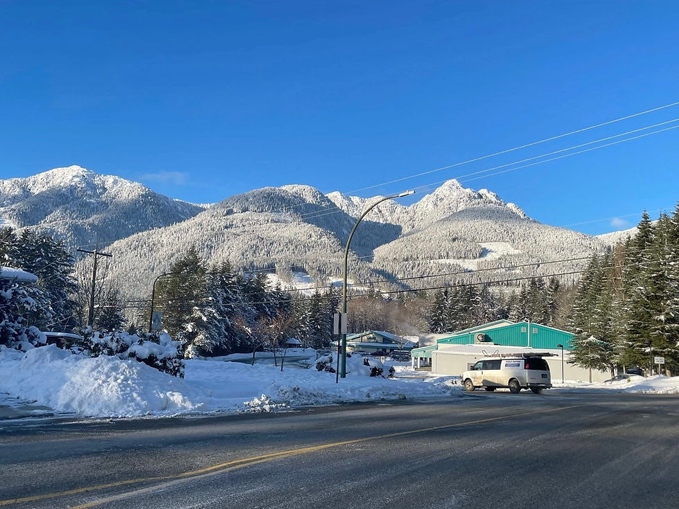
Tree Farm Licence areas, north Vancouver Island. Crown lands - not gated by Mosaic or Western Forest Products.

The distances of each day's rides will broadly be +120km over the routes on previous events. Expect to cover something like 1000km over four days, nearly all of it on gravel roads. Bypass routes to shorten each day will be provided.
The routes will be passable by trail, dualsport and adventure bikes - with tyres appropriate to loose gravel surfaces.
Gold River to Woss is 70km/45mi by gravel road, GR to Sayward Junction is 80km/50mi.
I am aware that not everyone will want to ride a marathon each day for four days, so I will be including some short cut bypasses to shorten each day.
The start and end of each timed section on each route will be clearly marked on the roadbook with a "Restart" and a "You Have Passed the Last Richta Control Point (RCP)" waypoint comment.
Richta Rally Timing, when configured this way, works on elapsed times between the RCPs measured by the Apple clock in your Richta iPhone. You can take as much time as you like to complete the transfer stages and there isn't any need for roadcrews working on timing stops. Neato!
The Roadbook + Richta (awards) class will require participants to complete all four routes in their totality.
If you don't know about roadbooks, read back a few blog entries to get up to speed with roadbook navigation.
The expected roadbook reader app is Rally Navigator Roadbook Reader
Calibrate the odometer
Use the gps-driven app odometer for distance measurement
Don't use wheel driven odometers - they have inaccuracies and errors that can't be compensated for.
If you wish to use a paper scroll roadbook reader rather than a pdf display, you will also need to run a gps odo/speedo (apps are available for this).
If you don't know about Richta rally timing, read back a few blog entries for the full Monte. There are a few one-liners I will give though:
Use an iPhone newer than iPhone 6
Run it on a usb charging cable
Don't run any other app on the phone you are using for Richta timing
Degree of difficulty: I found this on the web. Using this as a measure you can expect the routes to have individual elements no harder than "B" and for the greater part C+ or easier. I use my level of expertise as the go/no-go decider. I am a sixty-something, overweight, competent rider of many year's road experience with a DR650. If I can get over it alone then it is a goer. If it is too hard for me then we'll go a different direction!

I have already picked out potential routes, new routes to us (mostly) to the North, West and East of the Woss-Sayward Junction area. Over the coming months I will be exploring, trialling and testing these for next summer. I hope to have your company.


Comments